We produce verified views and landscape visual impact assessments (LVIA) photomontages to help secure development planning consent
When combining an architectural 3D model with a photograph, the accuracy of the match is paramount. These accurate representations are used to give stakeholders a precise impression of a development in context, before it is built. Unlike standard CGIs, these must stand up to the rigours of the planning process and we have the technical skills in house to deliver with expert precision.
Using VU.CITY to provide AVR scope
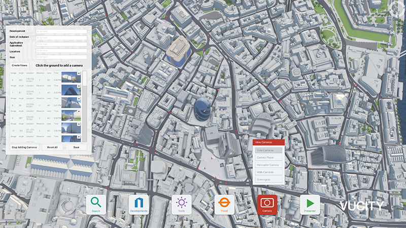
VU.CITY, our highly accurate interactive 3D model of London, can be used during the scoping stage to determine which views to assess.
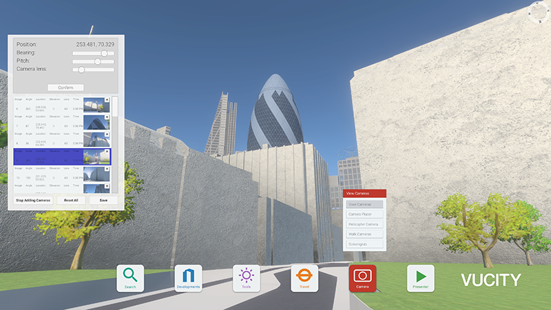
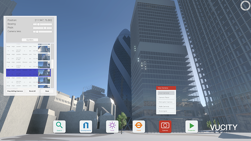
VU.CITY has all of the LVMF viewing corridors and points pre-plotted and enables the dropping of cameras interactively to establish whether a scheme is visible from a certain point.
By using our interactive toolkit to determine the scope, VU.CITY offers a more informed scoping process with a local authority and reduces the time and costs for the scoping and production of AVRs compared with traditional routes.


